
Lakeland ZIP Directory Coverage
Nine core delivery areas lie inside or along Lakeland's irregular boundary. Official city mapping also displays nearby Auburndale and Polk City codes for regional context. Area names below are broad guides, not legal borders. Neighborhoods, ZIP polygons, and city limits overlap in different ways.
| ZIP Code | Areas Covered | Post Office | Notes |
|---|---|---|---|
| 33801 | Downtown, east-central, Lake Morton, Lake Mirror, Lake Bonny | Lakeland delivery | More than one neighborhood |
| 33803 | South-central, Dixieland, Lake Hollingsworth, Cleveland Heights | Lakeland delivery | Crosses historic areas |
| 33805 | North and northeast, Tigertown, Lake Parker, US 98 | Lakeland delivery | Irregular north/east city edge |
| 33809 | Far north and northeast | Lakeland postal area | Much may lie outside city limits |
| 33810 | Northwest, Kathleen, west-northwest | Lakeland postal area | Large unincorporated edge |
| 33811 | Southwest, airport, County Line Road | Lakeland postal area | Mixed jurisdiction from annexations |
| 33812 | Southeast and Highland City edge | Lakeland-area delivery | Crosses city edge |
| 33813 | South Lakeland, Scott Lake, Christina | Lakeland delivery | Includes unincorporated pockets |
| 33815 | West-central, Winston, industrial and west downtown edge | Lakeland delivery | City and county parcels intermingle |
The official sources did not verify a PO-box-only or unique Lakeland ZIP, so none is claimed here. Codes 33823 and 33868 appear on the regional city map but belong to Auburndale and Polk City areas, not the Lakeland municipal core.
Central Lakeland ZIP Code Areas
Codes 33801 and 33803 cover much of Lakeland's older center. Downtown, Lake Morton, Lake Mirror, Dixieland, Lake Hollingsworth, Cleveland Heights, and Lake Bonny are useful place terms when searching city plans, directories, news, and photographs. Yet those names do not replace a postal check.
Older central properties can appear in Lakeland city directories from the confirmed 1915 through 1960 runs, historic images, and Sanborn sheets. Current ownership still comes from the county parcel record. Use the ZIP code directory to pick the area, then let a street address and parcel ID control the record match.
North Lakeland ZIP Boundaries
Postal Lakeland extends far north. Code 33805 takes in Tigertown, Lake Parker, and the US 98 corridor. Codes 33809 and 33810 spread through far north, northeast, Kathleen, and northwest areas where many addresses sit outside municipal Lakeland.
This is the clearest local example of why the mailing city cannot choose the records custodian. A permit or code case for an unincorporated parcel belongs with Polk County even when USPS prints Lakeland. Search municipal status before sending a request.
Key boundary fact. A Lakeland postal address does not establish City of Lakeland jurisdiction; confirm the parcel against the mapped city line.
West and South Lakeland ZIPs
West and southwest growth runs through 33811 and 33815, including the airport, County Line Road, Winston, industrial land, and the west downtown edge. Annexation has made the city line form narrow fingers across broad postal polygons. Newer development is best traced with plats, permits, the current tax roll, and GIS.
Codes 33812 and 33813 cover southeast and south Lakeland, including the Highland City edge, Scott Lake, and Christina area. Broad postal Lakeland here also includes unincorporated pockets. Do not infer a government district from the five digits alone.
Lakeland ZIP Polygon Search
The City ZIP polygon service is attributed to City ITGIS and USPS. Its ZIPCODE field supports identify, find, standardized queries, map export, and KML. The layer's 1,000-record maximum easily covers this small polygon set.
The official service lets a reader inspect Lakeland ZIP code shapes rather than assume a neat grid.
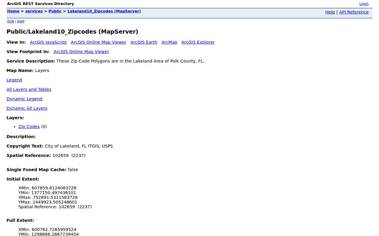
The map should be paired with parcel and city-limit layers because postal polygons do not define local government.
Search Lakeland Residents by ZIP
Official tools do not offer one general ZIP-wide resident roll. The city Address Lookup returns a ZIP after an address search. The GIS layer accepts ZIPCODE queries. Polk's verified Property Appraiser modes are owner, site address, and parcel, with no confirmed ZIP filter. The voter request form has no exposed ZIP box, though a requester can describe geography in comments or ask for address-sorted data.
- Validate the complete street address and postal code through an official postal source.
- Run the city address tool to return ZIP, neighborhood, and In/Out City Limits status.
- Use the ZIP polygon and parcel layers to see where postal and government boundaries part.
- Search the relevant official roll by its supported key, or request a maintained public file by defined geography.
Once a postal area narrows the task, the Lakeland street directory gives the address-level workflow. This keeps a broad ZIP from becoming an unsupported claim about a household.
Verify a Lakeland ZIP Address
The Lakeland Address Information Lookup accepts one address or a range. It returns ZIP, In/Out City Limits, neighborhood, historic district, zoning, land use, fire district, and other city fields. It is a jurisdiction tool, not an ownership roll.
| Field | Role in a ZIP search |
|---|---|
| Address or range | Required search input; ranges are supported |
| ZIP Code | Returned postal area |
| In/Out City Limits | Selects city or county custodian |
| Neighborhood/Historic District | Adds local place context |
| Search Map | Locates the input spatially |
For an inconsistency, contact Lakeland Planning at 863-834-7526 for city parcels or Polk GIS/addressing for county parcels. Parcel IDs are countywide and should not be decoded as ZIPs.
Lakeland ZIP Public Record Requests
When a portal cannot filter by ZIP, ask for an existing file or fields maintained by the correct office. Florida Public Records Law does not require an agency to create a new list or answer a research question. A precise request can name municipality, precinct, date range, format, and desired address sort.
The state describes public-record request channels by phone, fax, email, mail, or in person.
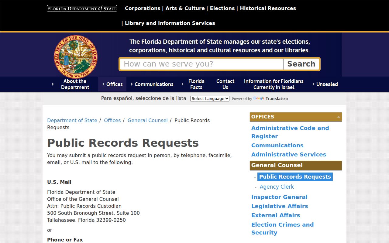
Electronic production may reduce paper charges, while extensive clerical or technical work can create a special-service charge.
The official Chapter 119 text sets the public-access framework.
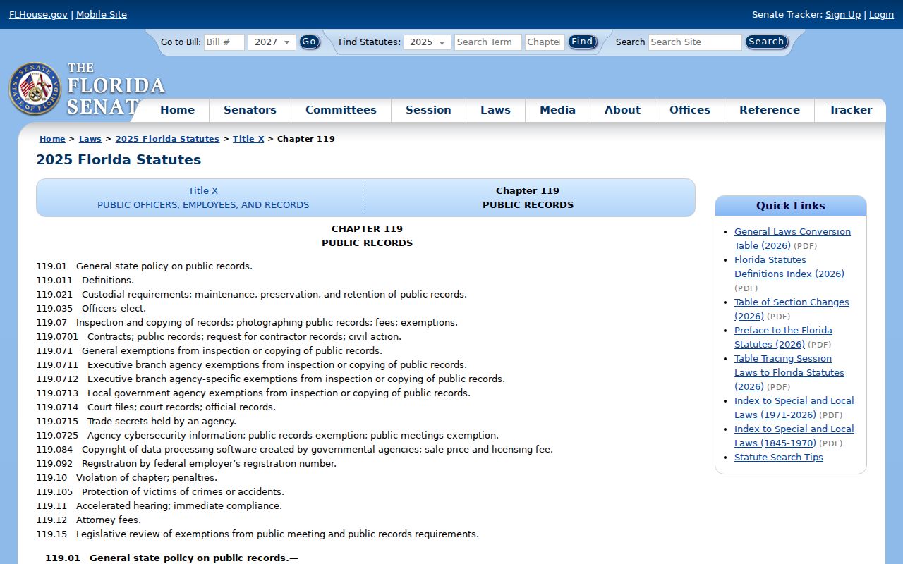
Exempt data and protected addresses remain excluded even from a geographic request.
Lakeland ZIP Voter Geography
Polk's personalized voter lookup is for one voter, not a ZIP browse. Its custom list form can choose Lakeland, districts, precincts, status, and special criteria. Florida's statewide extract is monthly and includes active and inactive records through the prior month, subject to exempt fields.
The Florida voter extract page explains the current request route and file specifications.
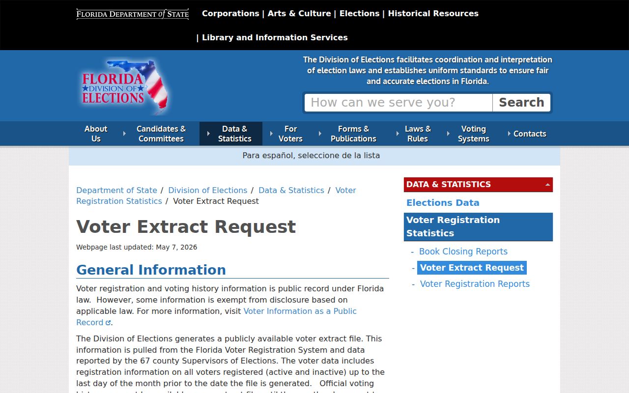
A voter file cannot represent all people in a ZIP. Minors, noncitizens, nonregistrants, protected voters, and stale addresses all limit the result.
Lakeland ZIP Codes Versus Limits
Lakeland's green municipal boundary weaves around lakes, roads, and planning areas instead of following ZIP polygons. Situs address, owner mailing address, legal description, neighborhood, and postal city are separate facts. A 33810 or 33813 mailing may be in unincorporated Polk County. Annexed city corridors may also cut through a broad ZIP.
No official split or realignment date was found. Historical work should compare the directory or phone book from that year with a Sanborn map, legal description, and current parcel. Do not impose today's ZIP on an older address.
- ZIP and ZIP+4
- The five-digit delivery area and its four-digit add-on for a smaller delivery segment.
- PO-box ZIP
- A code assigned mainly to post-office boxes; none was verified for Lakeland in the official sources reviewed.
- Unique ZIP
- A code assigned to one high-volume recipient; no Lakeland example was verified.
- Carrier route
- A postal delivery path within a ZIP, not a city or neighborhood boundary.