
Walk a Lakeland Street by Address
A whole-street search works one parcel at a time. Start with an exact address, not a resident's name. Polk County records ownership, while Lakeland and Polk offices divide permit and code work by jurisdiction. Once the parcel is known, its stable legal description connects map, tax, and deed records. Voter data and old directories can add evidence about occupants, but neither is a full household roll.
- Run the address through the city lookup to confirm ZIP, neighborhood, and whether it is inside Lakeland city limits.
- Search the Polk County Property Appraiser by site address. Save the parcel ID, owner, mailing address, legal description, and sale reference.
- Open the Polk Geoportal, identify the parcel, then pan along the same side of the street and click each adjoining parcel.
- Use the owner, file number, or book and page in the clerk's Official Records index. Follow each grantor and grantee only when the legal description matches.
- Request lawful street-level voter data, then check criss-cross directories for earlier listed occupants.
This chain separates strong facts from clues. A deed proves a recorded transfer. A parcel card names the assessed owner. A matching mailing and site address may support owner occupancy, especially with homestead, yet it still does not identify all people at the address.
Lakeland Street Directory Parcel Fields
The Polk County Property Appraiser search is the main owner-by-address tool for Lakeland. Its public modes turn a street number into a countywide parcel key. Search a broad street carefully because suffixes, directions, and spelling can change the result set.
| Search field | Input type | How it helps | Result |
|---|---|---|---|
| Owner Name | Text | Search a surname, trust, or business | Matching parcels |
| Site Address | Text | Find the physical property | Parcel at that location |
| Parcel ID | Text | Return to one known parcel | Linked parcel card |
| Map/GIS link | Linked result | Place the parcel among nearby lots | County map view |
A parcel card may show owner names, mailing and site addresses, legal description, taxing districts, exemptions, values, building facts, sales, sketches, photos, and a map link. Historical depth varies. Record the date viewed because rolls change after sales and annual assessment work.
Compare Lakeland Mailing and Situs
Mailing and situs addresses answer different questions in a street directory. The situs address is the taxed location. The mailing address is where the owner receives notices. A match may support the idea that the owner uses the property as a home, but it is not final proof. A homestead exemption adds stronger tax-roll support, still without naming each occupant.
Occupancy clue. Compare the mailing address, situs address, and homestead field before describing a Lakeland parcel as owner occupied.
A mismatch can be useful. It may lead to a local office, a trust, a care-of address, or an out-of-state owner. It says nothing firm about renters at either address. Keep the parcel ID and legal description in notes so two people with similar names do not become mixed.
Browse Lakeland Streets in Polk GIS
The Polk County Geoportal lets a researcher search an address or parcel, zoom and pan, identify a lot, and inspect map layers. Roads, parcel lines, aerial views, jurisdiction, land use, districts, flood information, and infrastructure can give context. The viewer is not a survey, so its drawn lines should not settle a legal boundary dispute.
The image below comes from the official Polk Geoportal.
Use this map to move from the subject parcel to the lots beside it and across the road, then open each parcel record separately.
Street-facing adjacency matters in Lakeland. Lakes, rail lines, and disconnected roads can make a simple radius misleading. For a street-by-street run, choose one side, record each parcel ID in order, then repeat the other side.
Records Behind a Lakeland Street Directory
No single Lakeland roll lists all residents. The useful set is a group of address-keyed records, each kept for its own public task. The table shows what can be learned and where the limits begin.
| Address source | Public keeper | Street evidence | Access route |
|---|---|---|---|
| Assessment roll | Polk Property Appraiser | Owner, mailing and situs, legal description, exemptions, sales | Free property search |
| Parcel map | Polk Geoportal | Lot position, nearby parcels, map layers | Free viewer |
| Deeds and liens | Polk Clerk Official Records | Named parties and recorded title chain | Online from 1957; older books at repositories |
| Voter file | Polk Supervisor of Elections | Public registration fields by requested geography | Custom list request |
| Permit or code file | Lakeland or Polk County | Work, applicant, owner, notices, dates, disposition | Portal or public-record request |
| Reverse directory | Library and archive collections | Listed occupants in house-number order | Edition-dependent research |
The parcel ID joins the current roll to GIS. The legal description joins the parcel to deeds and plats. A street name works best for city tools, voter requests, and reverse volumes. Preserve all three keys because a spelling or number may change while the lot and block remain the same.
Trace Lakeland Street Deeds Since 1957
The Polk Official Records Online Search covers recorded documents from January 1, 1957. It is not naturally keyed by street. Begin with the parcel card's current owner and sale citation, then search the deed index by party, file number, or book and page. Party names use Last-Name First-Name with no comma, and the search adds a beginning wildcard.
The clerk's Official Records search instructions show the portal controls pictured below.
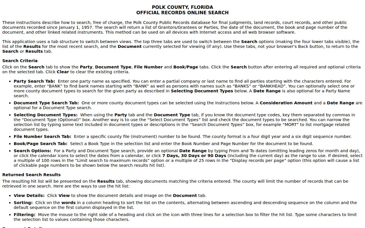
The result can expose party role, document type, file number, recording time, book and page, consideration, legal information, related instruments, and image status.
To step back, open the acquisition deed and note the grantor. Search that seller as an earlier grantee, then confirm the same legal description. A name match alone is weak. Earlier books require the Bartow clerk, Polk History Center, or FamilySearch microfilm. This online cutoff marks access, not the start of Polk recording.
Is That Lakeland Street in City Limits?
A Lakeland mailing address does not prove city jurisdiction. The municipal boundary crosses ZIP polygons and leaves many postal-Lakeland parcels under county permitting and code enforcement. Search the Lakeland Address Information Lookup before asking for a file. It accepts one address or a range and returns In/Out City Limits, ZIP, neighborhood, historic district, zoning, land use, and other districts.
This is a route finder, not an ownership roll. If the result says inside city limits, use Lakeland permit, code, and public-record channels. If outside, seek the Polk County custodian. That short check avoids a common delay and explains why two homes on the same postal street may have records in different systems.
Note: USPS delivery geography, parcel jurisdiction, neighborhood boundaries, and legal descriptions are distinct layers across Lakeland.
Add Lakeland Permit and Code Records
Permits and code files add dates and named roles to a street directory. A permit can show the parcel address, applicant, contractor, work type, issue date, inspection history, and status. A code case can show a violation address, owner notices, inspection steps, hearing orders, liens, and disposition. Those names may belong to owners, agents, or contractors, so they do not prove who lived there.
The Lakeland A-Z Service Directory, shown below, routes users to city permits, reports, maps, and record services.
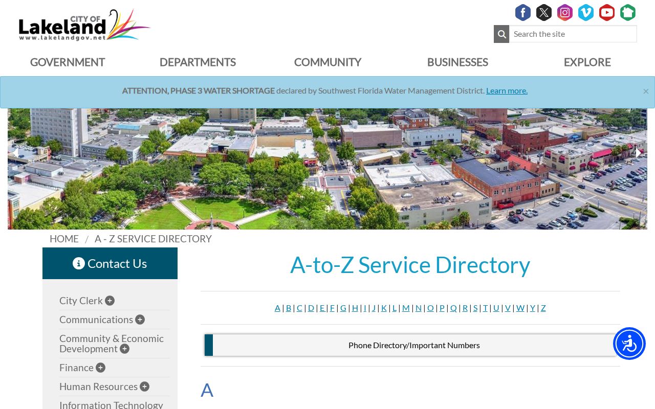
When an online result is thin, request the permit jacket, application, inspections, and certificate of occupancy as separate items because each may hold different dates and names.
For a code matter, ask for the complaint, notice, photographs, order, and lien release. Florida law may require redaction of protected personal facts. The exact digital permit cutoff was not verified, so older street research may need a direct public-record request.
Lakeland Voter Data by Street
The personal voter lookup authenticates one voter. It does not browse a block. Street-level research instead goes through the Polk voter-list request. The form allows a municipality, precinct or district choice and a Special Criteria or Comments field. Ask for public fields sorted by address for a named street or block.
The official request page is shown in the image below from the Supervisor of Elections.
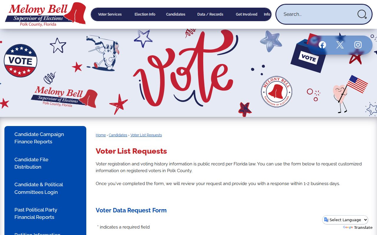
The custom route differs from the private check-your-information screen and is the right path for a lawful street study.
A voter file remains incomplete. It excludes people who are not registered and withholds confidential identifiers and protected records. Electronic custom responses are available; published fees apply to print and labels. Describe any result as registration evidence, not a complete household list.
Read Old Lakeland Streets in Reverse
A criss-cross section reverses the usual name order. It lists a street, then moves through house numbers and named occupants. That makes it the historical cousin of a modern street directory. Lakeland directory years are confirmed from 1915 through 1960 at intervals, while documented telephone-book segments span 1951 through October 1960. Exact reverse-section years require a shelf check.
- Parcel
- A county identifier for one assessed piece of land.
- Situs address
- The physical location of the taxed parcel, distinct from the owner's mailing address.
- Plat
- A recorded subdivision map that defines lots, blocks, roads, and easements.
- Criss-cross directory
- A volume or section arranged by street and house number instead of by surname.
Street names and numbers can change, but no authoritative citywide Lakeland renumbering crosswalk was found. Compare the directory street index, Sanborn sheets, maps, and the deed's lot and block. For the full historical shelf, use the Lakeland city directory collections rather than assuming every old address stayed fixed.
Limits of a Lakeland Street Directory
No authoritative public source names every renter, child, roommate, or other person in a Lakeland home. Property records show ownership. Permit names reflect project roles. Voter lists cover only registered voters and omit protected fields. Driver-license addresses are controlled, and utility customer data should not be treated as a public directory.
Old directories also miss people who declined canvassing, did not have a telephone, lived in rural areas, stayed in institutions, or were poorly represented by publishers. Women, children, and marginalized residents are often undercounted in early editions. An absence is a reason to check census, school, church, newspaper, or family records, not proof that a person was elsewhere.
Lawful use. Use Lakeland address records for legitimate personal research. Never use a street search to stalk, harass, intimidate, or harm anyone.
A careful street directory labels each fact by source and date. It also keeps owner, occupant, registrant, applicant, and correspondent roles separate. That discipline makes a parcel-by-parcel study useful without claiming more than the public records can show.